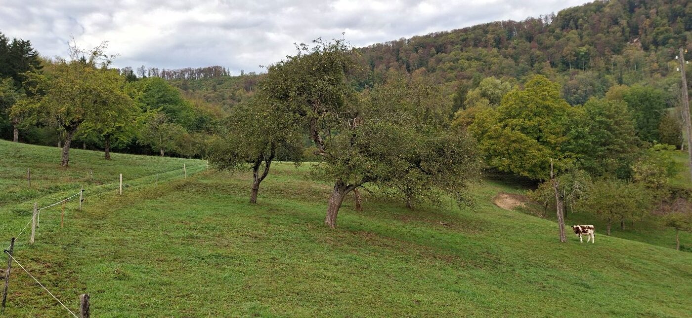
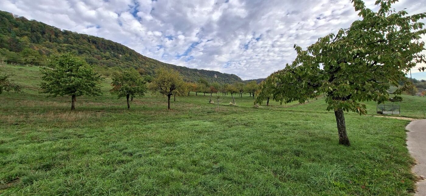
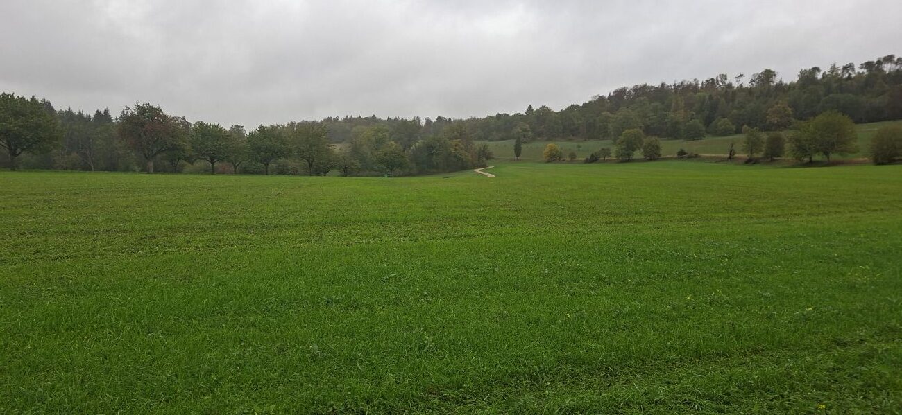
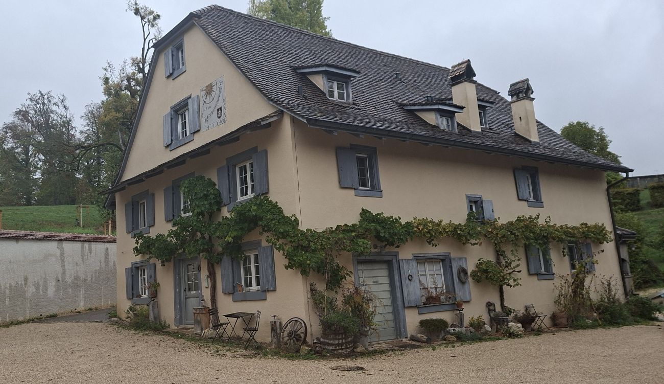
Two villages, two cantons, the Diocese of Basel, Angenstein Castle and the SAC

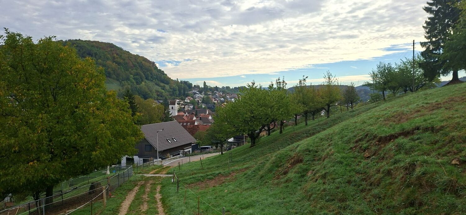
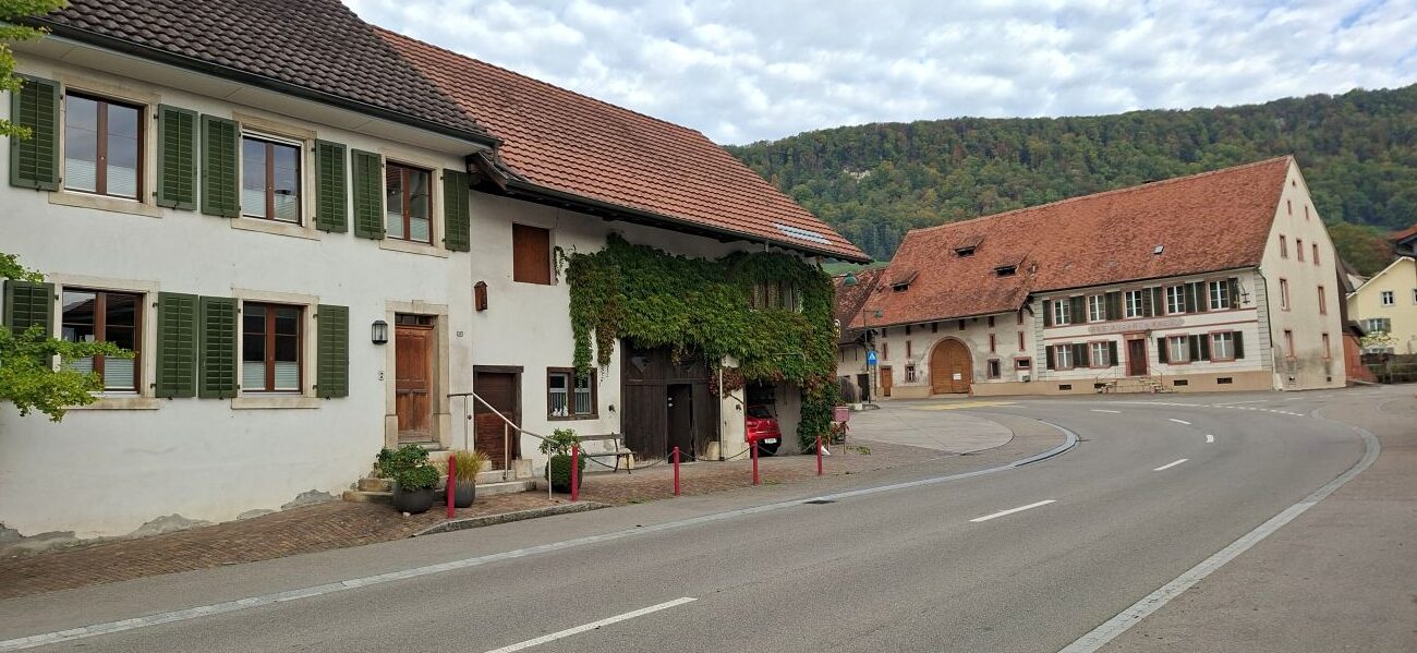
On 14 March 1194, Pope Celestine III (1106–1198) confirmed to the Beinwil Abbey all its present and future possessions, including those of the village of Büren, which was mentioned for the first time. A little later, on 1 February 1196, he also confirmed farms and estates in Büren to the Cathedral Chapter of Basel.

Büren

Büren is a common place name. Seven localities in Switzerland share this name. In the German federal state of North Rhine-Westphalia, a town called Büren also exists, and in the Netherlands, a town called Buren. Queen Juliana (1909–2004) also occasionally referred to herself (to remain anonymous) as Countess van Buren, just as King Willem-Alexander (1967) occasionally refers to himself as W. A. van Buren.


Feudal period

Büren (canton of Solothurn) once belonged to the Pfirt (Ferrette) domain and was subsequently divided, with part passing to the Diocese of Basel and part to the Dukes of Austria. In 1502, Solothurn acquired half of the village’s feudal rights. Austria’s rights lapsed after the Battle of Dornach in 1499. In 1522, Solothurn acquired the episcopal rights, along with the Thierstein domain. By then, Sternenfels Castle had already fallen into ruin.

Angenstein Castle in Duggingen

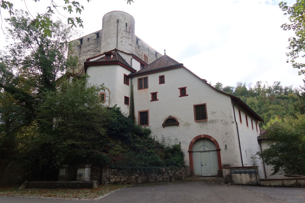
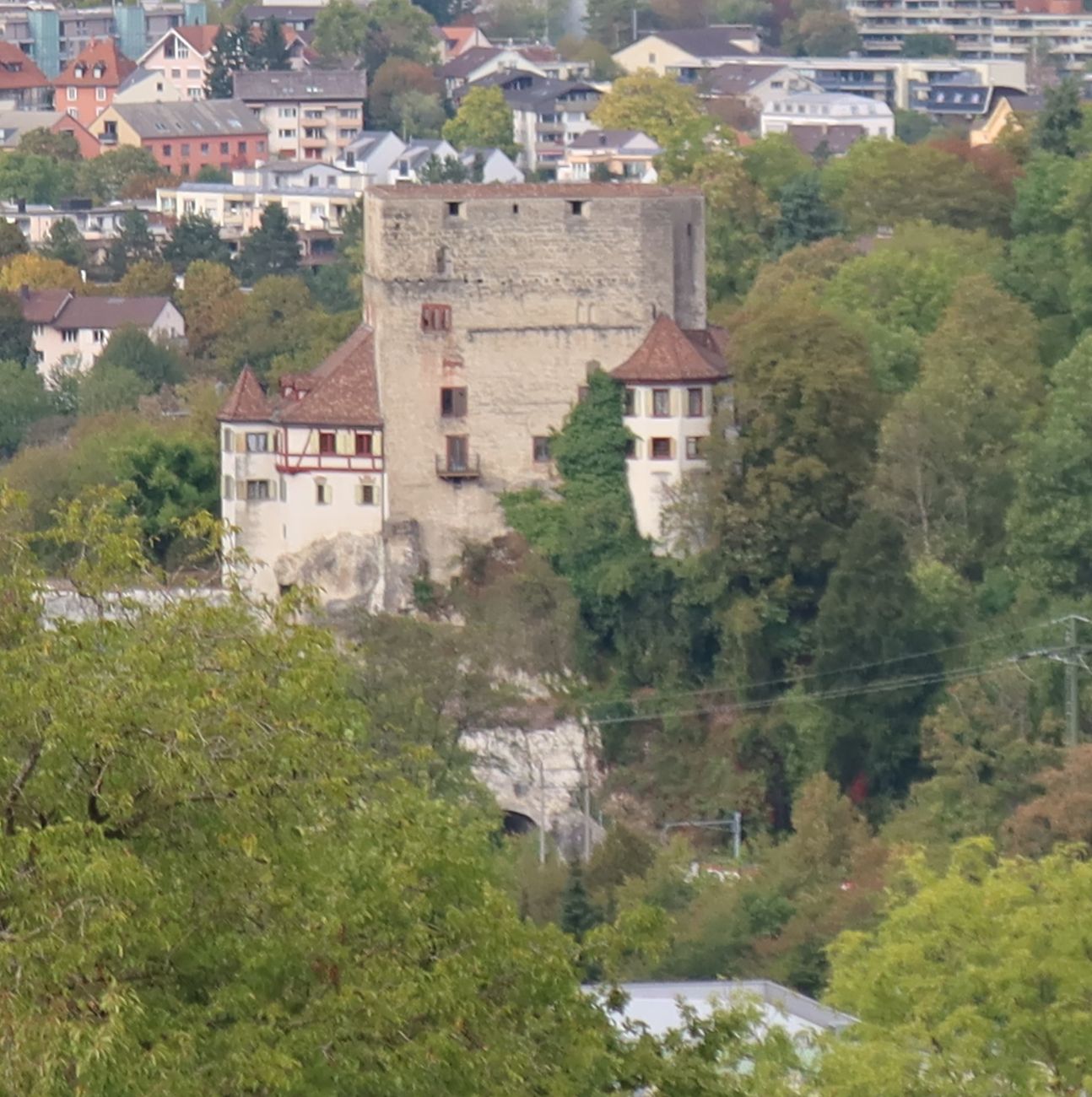
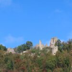
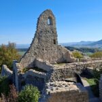
Angenstein Castle is situated in Duggingen in the canton of Basel-Landschaft. The castle dates back to the 13th century. It was built either by the Counts of Pfirt (Ferrette in Alsace) or by the Lords of Münch from Münchenstein (canton of Basel-Landschaft), who were also bishops of the medieval Diocese of Basel.

Earthquakes (1356) and fires destroyed the castle several times, but it was always rebuilt. Today it is privately owned.

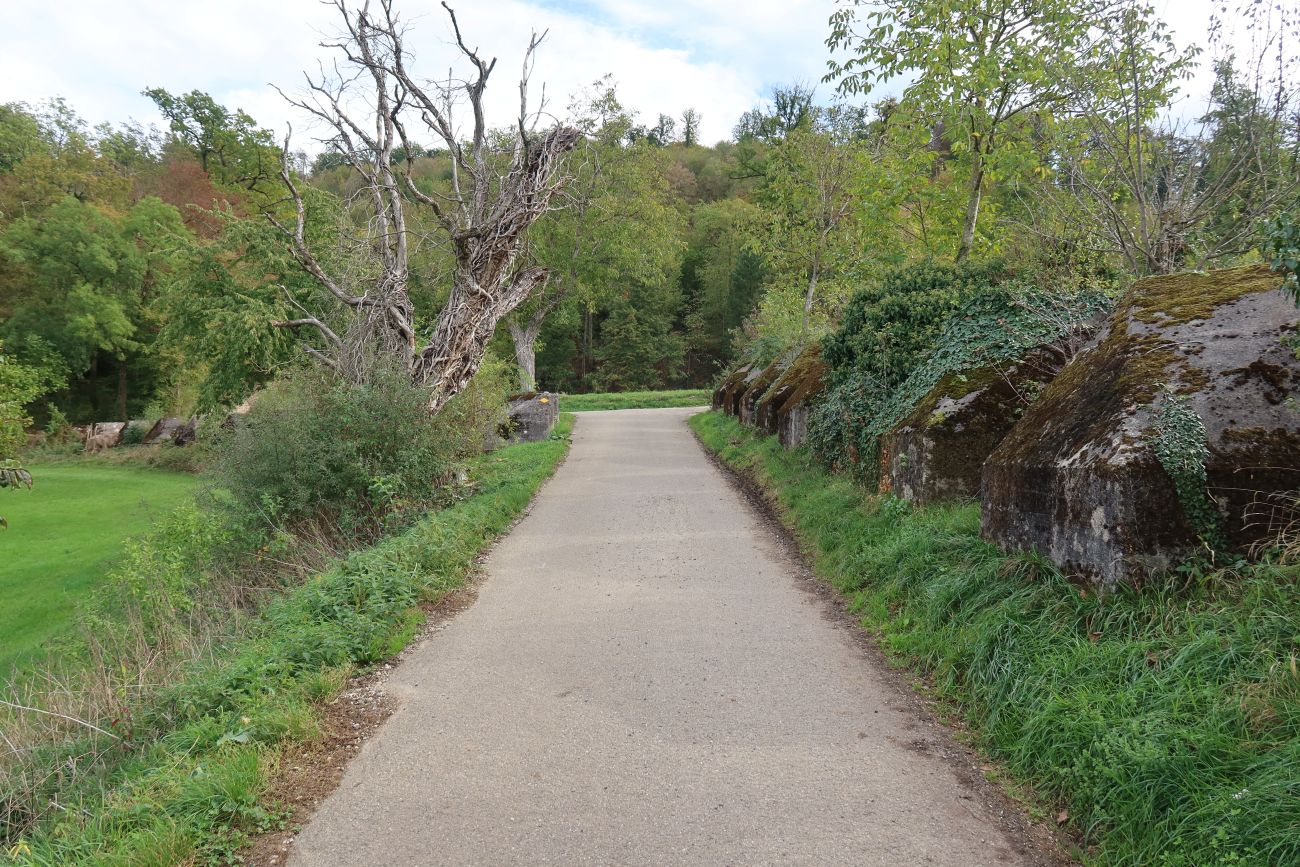
Owing to its strategic location at the entrance to the Laufental valley and on the River Birs, it served as an important military base during both World Wars (1914–1918 and 1939–1945). Several so-called ‘Toblerone’ anti-tank barriers in the immediate vicinity also serve as a reminder of this.

The Basel Section, the Angenstein Section and the SAC

Angenstein Castle also holds special significance for the Basel Section of the SAC. As is well known, members of the Basel Section founded the first SAC section on 17 April 1863. The Swiss Alpine Club was founded on 21 April 1863. In 1932, members of the Basel Section founded the Angenstein Section, which still exists under this name today and has around 1,300 members.

Conclusion

Even within a few kilometres, history, culture, and nature offer a varied and fascinating picture. Several villages and towns in the immediate vicinity that are well worth a visit have not yet been mentioned, including Seewen with its museum, as well as Hochwald and Gempen.

The founding of Canton of Basel-Landschaft in 1833 and SAC in 1863

Bad Bubendorf (Canton of Basel-Landschaft) is the place where, on 18 October 1830, the movement took shape that led to the secession of the Canton of Basel in 1833. In Bad Bubendorf, a hamlet and spa town near Bubendorf, the first meetings took place in 1830, leading to independence from Basel-Landschaft in 1833. However, the village of Bubendorf itself remained loyal to Basel until the end. The secession from Basel took place in 1833, creating the cantons of Basel-Stadt and Basel-Landschaft.

Wildenstein

The centuries-old Wildenstein Castle and estate (built in the 13th century) lies about 1 kilometre further south towards Oberdorf. It is one of Switzerland’s last remaining natural areas featuring a medieval cultural landscape. The castle’s grandeur, its (English-style) gardens, springs and farmsteads also reflect many centuries of cultural history. The estate is best known for its oak grove and the Witwald. The oldest oaks date back to the 15th century (around 1490)!

For centuries, the wild boar linked the oak grove and the Witwald. Wild boars love acorns and would eat their fill to fatten up before resting in the Witwald from time to time. The oak grove is not a dense forest, but consists of oak trees standing in open countryside (the Witwald).

The value of such an oak-meadow area was therefore measured by the number of boars (boar units) it could support. Oak timber was also a very good building material. In the 18th century, agricultural practices changed, and the land was converted to vegetable cultivation. However, the Eichenrain and the Witwald in Wildenstein were preserved and are now a nature park.

The Giessen Waterfall

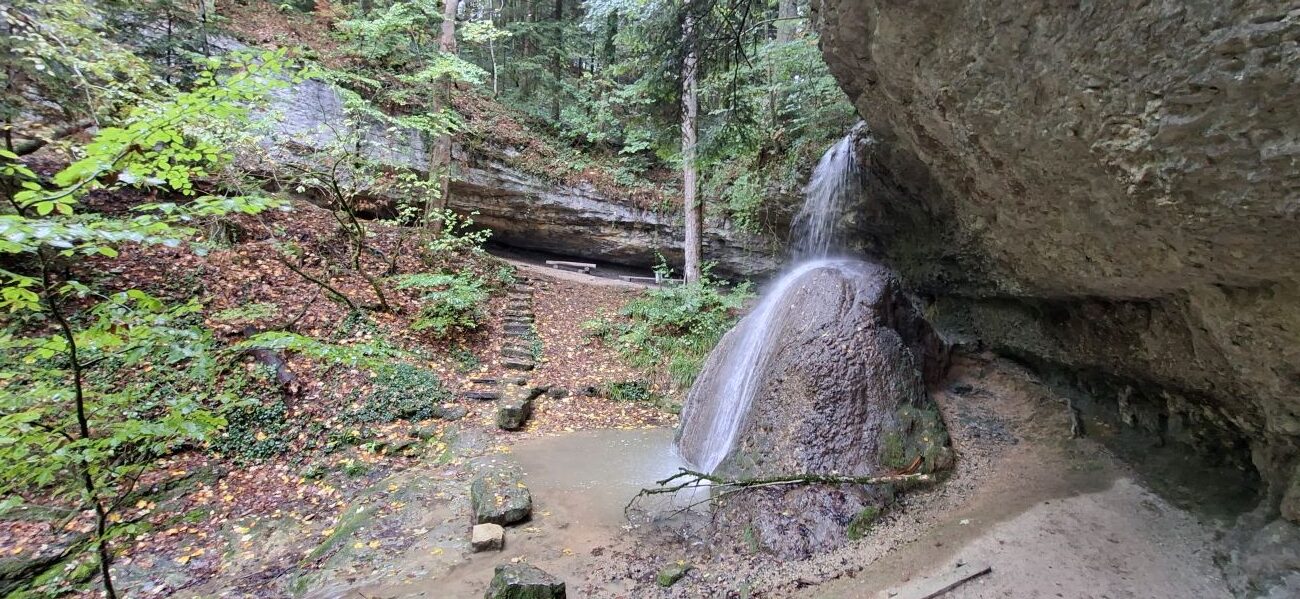
Further south towards Oberdorf lies another natural landscape: a floodplain forest of maple, ash, alder and poplar trees, featuring the ‘Giessen’ waterfall and the cone-shaped formation – or stalagmite – below the waterfall, formed by deposits from the calcium-rich water.

Nomen est omen in the Auenwald

However, the volume of this well-known waterfall has changed. Not so long ago, the waterfall in the gorge was still proper. Nowadays, it is merely a small stream.

Oberdorf

Oberdorf is only about 13 kilometres from Bad Bubendorf (Canton of Basel-Landschaft). Yet even this short journey offers insights into history, culture, and nature, not only of Switzerland, but also of the Swiss Alpine Club (SAC).

After the Romans withdrew in the 5th century, Oberdorf belonged to the First Kingdom of Burgundy (446–534) for almost 100 years. Afterwards, the Alemanni settled in this region. Various graves and works of art from that period remind us of their arrival. The first church dates from the 8th century. For centuries, Oberdorf belonged to the St Ursen Abbey, which was dissolved in 1874.

From Onoldswil to Oberdorf

For a long time, Oberdorf and Niederdorf together formed a municipality called Onoldswil. In 1295, however, an avalanche destroyed the village. The subsequent reconstruction led to the emergence of the present-day villages. The name Oberdorf first appears in a 1305 document, when the village, together with Lommiswil, still formed a single parish.

The Gugler’s destruction of the church in Lommiswil in 1375 heralded a new era for Oberdorf. The Guglers were English and French mercenaries who invaded and plundered the Swiss Mittelland in 1375 during the Hundred Years’ War between England and France. In 1420, the villagers built a new church in Oberdorf, dedicated to the Virgin Mary. It was renovated several times in 1490 and in the centuries that followed.

The Swiss Peasants’ War of 1653 and the silk ribbon weaving industry

Oberdorf played a significant role during the Swiss Peasants’ War of 1653 (not to be confused with the German Peasants’ War of 1525). One of the peasants’ leaders, Uli Schad, came from the village. The outcome of the uprising is well known, but Oberdorf recovered. In the 18th and 19th centuries, it even developed into one of the most important centres for silk ribbon weaving.

Ueli Schad in 1653. Image: Wikipedia, Collection: Historisches Museum Basel

Factories for the watchmaking industry and technical equipment also sprang up. Today, Oberdorf is above all a beautiful and peaceful village at the foot of the Oberer Hauenstein, whose mountain pass connects the cantons of Solothurn and Basel-Landschaft.

Annual Festival of the Basel Section of the SAC

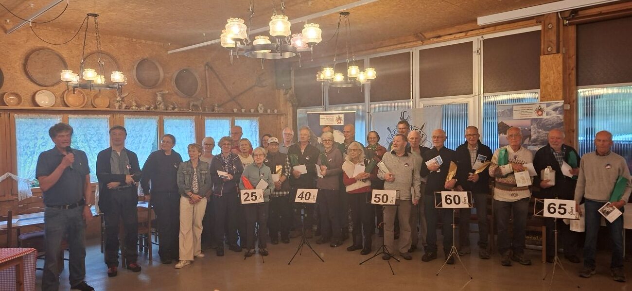
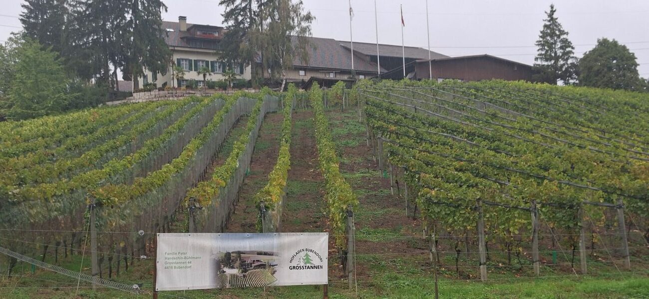
Every year, the Basel Section of the SAC organises an annual festival (Jahresfest) for its approximately 4,000 members. This year, the event took place in Grosstannen near Bubendorf.

Once again, numerous members celebrated anniversaries, including some with 65 years’ membership! Not only were the anniversary celebrants and many members present, but also a hiking guide and her yodelling choir, the Frauen-Jodel-Chörli Basel!

Incidentally, this section was founded a few days before the nationwide SAC was established. The SAC Basel was founded on 17 April 1863 at Café Spitz in Basel. On 21 April of the same year, 14 founding members, together with 21 other Swiss nationals, founded the SAC’s central club in Olten. The Basel Section is therefore a few days older than the SAC itself.

Initially, events were held every 14 days, and later monthly, at Café Spitz, Café du Théâtre, Schützenhaus, Hotel Drei Könige (Les Trois Rois), the Lesegesellschaft, and, from 1950 onwards, at other venues. Some of the lectures given at that time have been transcribed by hand into 12 books entitled “Berg- und Gletscherfahrten der Sektion Basel des SAC“ niedergeschrieben (1863 – 1903)”.

Jura Park Aargau,  the Staffeleg, the Fricktal and the Schenkenberg Valley

Switzerland’s landscapes have evolved over time. The region comprises three major landscape zones: the Alps, the Mittelland and the Jura. Over millions of years, plate tectonics in Earth’s crust has repeatedly formed and erased seas and mountain ranges. Together with changes in weather and climate, these movements of the Earth’s crust have also shaped, characterised, and repeatedly transformed the Jura landscape.

The Jura

The Alps and the Jura mountain ranges were formed by the same processes within the Earth’s crust, while the Mittelland, situated between them, represents the former receptacle for eroded rock during the formation of the Alps 64 million years ago. All three major regions are closely linked in terms of their formation.

Geologically speaking, the Jura is the older mountain range (dating back approximately 200–145 million years). When a new crustal movement shifted the Swiss Plateau northwards 2 million years ago, the Black Forest and the Vosges stood in the way.

The deposits were compressed in the Jura region, causing the Jura mountain range to fold. Four to six ice ages and interglacial periods (!) ultimately shaped Switzerland’s relief and the Jura Park into its present form until around 10 000 years ago.

 Jura Park Aargau 

The Jura Park Aargau stretches across the region between Brugg, Aarau and Rheinfelden. Between 245 and 200 million years ago, the climate was desert-like; during the Jurassic period (200–145 million years ago), the Tethys Sea flooded the park, and during the ice ages (up until 10 000 years ago), the foothills of the great glaciers covered it.

 The Staffeleg, the Fricktal and the Schenkenberg Valley

The Staffeleg is a significant Jura pass on the Jura High Trail between Aarau, the Fricktal and the Schenkenberg Valley. The Gisliflue is an impressive peak offering panoramic views of the Alps, the Jura hills and the Black Forest. The Gisliflue ridge is also of geological interest as it was once a coral reef.

Schenkenberg Castle, Bern and the Canton of Aargau

From the 13th to the 15th century, various noble families made Schenkenberg Castle their seat. From 1460 until it was abandoned in 1720, it served as the Bernese bailiff’s seat. The main keep stood at the highest point of the site. It consisted of the main tower, the shield wall (die Schildmauer, see also Farnsburg Castle) and the great hall.


To the west lay the lower castle with its service buildings (granary, stables, bakery, smokehouse and water supply) and the gatehouse. A long staircase led to the inner castle and into the great hall. Round towers flanked the castle. To the south lay the walled castle garden, whilst a moat protected the castle to the east.

I. Wernli, Bild im Restaurant Schenkenberg in Thalheim

History

Schenkenberg Castle was founded in the first half of the 13th century. A document from 1243 mentions ‘dominus H. de Schenkenberc’. He was presumably a vassal of the Counts of Habsburg. It subsequently belonged to the Lords of Schönau until the mid-14th century.

The castle passed to the Lords of Baldegg in 1451. The Bernese, who had ruled Aargau since 1415, also occupied this castle in 1460. It subsequently served as the bailiff’s seat until 1720. Around 50 bailiffs resided at Schenkenberg. In 1720, the castle was abandoned because it was dilapidated. The bailiwick’s seat moved to Wildenstein Castle.

Thalheim

The village of Thalheim (Canton of Aargau) lies at the foot of the castle in the Schenkenberg Valley, part of the Jura Park Aargau. The village was first mentioned in a document in 1064. Alemannic graves indicate that people settled the area much earlier.

Thanks to winegrowing, the village flourished and became the second-largest municipality in the district of Brugg by the 17th century. Agriculture and viticulture have lost much of their significance, yet more than 30 people still work in farming, full-time or part-time.

The church and the vicarage

With the Bern coat of arms on its façade, the vicarage still dominates the village square. It was built in 1731. The church, dedicated to St Peter, was originally Romanesque.

It was renovated in the 14th and 15th centuries. In 1543, after the Reformation, it was extended and renovated again. The baptismal font dates from 1675.


EuroAirport Basel-Mulhouse-Freiburg, Badischer Bahnhof and Paris-Basel

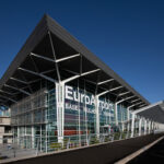
Just a few months after the end of the Second World War, they built the first temporary runway near Mulhouse (Alsace) in a short time. On 2 May 1946, the first civil aircraft landed, and the airport officially opened a few days later, on 8 May 1946.

 The connection Basel-Mulhouse-Paris

And on 7 October 2026, Air France celebrated the 80th anniversary of its route between EuroAirport Basel-Mulhouse-Freiburg and Paris. This route was launched on 7 October 1946, when an Air France Bloch 220 flew the first commercial flight from Paris-Le Bourget to the new airport. Since 1946, the binational airport has become a key infrastructure hub for the trinational region, and a symbol of successful cross-border cooperation in Europe.

Foto: © EuroAirport

The idea was as pragmatic as it was visionary: to create joint airport infrastructure for the region and pool resources across borders. The Franco-Swiss intergovernmental treaty of 1949 established the framework under international law and domestic legislation.

The EuroAirport Basel-Mulhouse-Freiburg

Since then, EuroAirport has developed into a unique model of bi- and trinational cooperation and a key driver of mobility, the economy and employment in the Upper Rhine region.

Opening on 8 Mai 1946. Photo: © EuroAirport

Today, EuroAirport connects the people and businesses of this tri-national region with numerous European and intercontinental destinations. At the same time, the airport sees itself as a key player in linking economic development, quality and sustainability.

The 80th anniversary coincides with a significant phase in the airport’s ongoing development. With a multi-year investment programme totalling over 600 million euros, EuroAirport is laying the foundations for further infrastructure modernisation and long-term improvements in service quality.

The Badische Bahnhof

However, a predecessor on wheels and rails had existed since 1855. As early as 1852, the Swiss Confederation had concluded a state treaty with the Grand Duchy of Baden to build a station for the Grand Duchy on the territory of the canton of Basel-Stadt. Baden sought a connection to the Paris–Strasbourg–Basel railway network, the Lake Constance region, and along the Rhine.

This station is known as the Badische Bahnhof. The station is situated on Swiss territory but is owned by Deutsche Bahn. Under the repeatedly amended 1852 state treaty, special arrangements apply to the powers of the Swiss and German customs and police authorities.

During the Second World War, this was especially important for Jewish refugees, though unfortunately it did not always help them.

Originally, the station stood elsewhere in Basel, but it has been at its current site since 1913. The Grand Duchy of Baden, and with it the Badische Bahnhof, were eventually absorbed into other German states and into the federal state of Baden-Württemberg within the Federal Republic of Germany.

The Strasbourg–Basel Railway Company

In a sense, the Badische Bahnhof was not the first international station on Swiss territory either. In June 1843, Basel decided to extend the Paris–Strasbourg–Saint-Louis railway line to Basel. The concession was granted to the ‘Strasbourg–Basel Railway Company’ (Compagnie du chemin de fer de Strasbourg à Bâle/Gesellschaft der Straßburg-Basler-Eisenbahn).

Opening of the first railway station in Switzerland, Basel, 11 December 1845. Picture from the magazine «L’Illustré», Paris. Source: Wikimedia

On 15 June 1844, the first French train arrived at the new station in Basel, and in December 1845, Switzerland’s first station opened. Although the station was under Swiss control and the French authorities had no say in its management, it was a Franco-Swiss collaboration.

Basel, SBB Bahnhof with two clocks: for the Swiss time (on the left) and for the French time (they differed until 1894)

The SBB station replaced the original station as early as 1860. Today, however, it remains a border station with customs facilities, and French trains are sometimes even announced as part of the SBB station when the SBB train approaches!

(Source and further information: EuroAirport Basel Mulhouse Freiburg)

Switzerland learns Romansh

From 12 to 16 October 2026, 77 participants from across Switzerland will spend a week in Sta. Maria (Val Müstair, Canton of Graubünden) to learn Vallader in nine classes of varying levels.

In addition to language lessons, this intensive course offers the opportunity to discover Romansh culture and enjoy the company of fellow participants during the afternoon and evening social programme.

Three of the nine groups are advanced classes studying at the ‘Conversaziun e litteratura’ level – one of which is led by the author Rut Plouda from Ftan. In the remaining six classes, participants are not using the ‘In lingia directa’ teaching material as usual this year; instead, they are using the new ‘Drivaportas’ resource, which they are also evaluating. The University of Teacher Education Graubünden is currently developing this teaching material and testing it in practice.

By prior arrangement, interested media representatives may attend the language lessons or take part in the cultural programme (visits to local attractions, talks, readings, etc.).

If you are interested, please register via the following email address: [email protected]. In addition, Linard Martinelli, Head of Education at Lia Rumantscha, is available for interviews.

(Source and further information: Lia Rumantscha)

Switzerland on the Tabula Peutingeriana

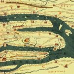
The Peutinger Map (Tabula Peutingeriana) is a copy of a Roman road map showing the most important roads and towns of the Roman Empire – in a sense, an ancient version of a digital map.

The original was engraved on the Arch of Agrippa (Porticus Vipsania or Porticus Agrippae)  in Rome around 12 BC. Emperor Augustus had conquered further territories, including the area that is now Switzerland. The Roman Empire stretched over 8,000 kilometres from west to east, which at the time corresponded to around 300 days’ march on foot.

This depiction of routes served not only as propaganda, but also as a guide for merchants, armies, traders, diplomats, politicians and other travellers. It is likely that this map was also available on a smaller scale on parchment, but nothing is known about it and no such copies have survived.

The cursus publicus

The Romans were builders of cities, roads, bridges, and had even established a well-functioning postal service, the cursus publicus. For this reason, the map also shows stopping and resting places along the cursus publicus. They all relied on clear route descriptions, and this map was the basis for them.

The map also gives distances in Roman miles (1,482 metres). Furthermore, it shows rivers, seas, oceans, islands, lakes, mountain ranges, forests, significant structures, mountain passes, bridges and harbours. The three most important cities of the empire – Rome, Constantinople and Antioch – are also specially marked. In short, it is a Roman marvel of cartography, even though the map is difficult to read today due to the lack of geographical proportions and orientation.

However, this does not detract from the fact that the information it provides is of great value for locating the most important places in the Roman Empire. The map shows 37 places within the territory of present-day Switzerland or immediately beyond its borders, including Augst/Kaiseraugst, Nyon, Geneva, Windisch, Arbon, Bad Zurzach, Avenches, Chur, Yverdon-les-Bains, Martigny, Moudon, the Great St Bernard Pass, Solothurn, the Rhine, the Rhône, Lake Geneva, Lake Constance and Lake Maggiore.

Be that as it may, the original in Rome has not survived. In the 12th century, monks from Colmar produced a copy on twelve sheets, based on a lost copy on paper or parchment. Eleven of these sheets have survived and are held by the Nationalbibliothek (National Library) in Vienna.

Together, these sheets measure 6.82 metres in length and 34 centimetres in height. The map bears the name of its last owner, Konrad Peutinger (1454–1547). This document has been inscribed on the UNESCO Memory of the World Register since 2007.

(Source and further information: Österreichische Nationalbibliothek)

The Villages Ormalingen and Buus near the Farnsburg

Two small villages near the Farnsburg Castle tell the story of this castle, once called the ‘Queen of Castles’ in this region. Time has passed by, but the links are still clearly visible.

Ormalingen

The village of Ormalingen has always had close ties to the Farnsburg. The village’s coat of arms commemorates its former inhabitants, the noblemen of Zielemp.  They held a feudal fief at the castle, where they resided in the ‘Zielempen House’ in the outer bailey around the mid-14th century.

Later, the family moved to the house in Olten named after them, then to Hagberg Castle and finally to Aarau. In Olten, the old residential tower on the River Aare is still adorned today with the Zielemp coat of arms.

Normandingen was first mentioned in 1286. It is the name of an early medieval settlement and is probably derived from ‘Nordmann’. In the Middle Ages, the village belonged in turn to the Counts of Homberg, the Counts of Froburg, the Lords of Falkenstein and the Counts of Thierstein-Farnsburg.

In 1461, Ormalingen, together with the Thierstein-Farnsburg domain, came under the jurisdiction of the city of Basel. The village is situated in the upper Ergolz Valley on the old thoroughfare leading to the Schafmatt Pass, a formerly important Jura mountain pass and the former grandeur of a trading city can still be seen.

Buus

The name is derived from the Proto-Alemannic place name ‘Hof ze Bus’. In the Middle Ages, the village probably belonged to Beromünster Abbey, then passed to the Counts of Lenzburg, the Counts of Frohburg, the Counts of Habsburg-Laufenburg and finally, together with the Farnsburg, to the Counts of Thierstein.

In 1461, Thomas von Falkenstein sold Farnsburg to the city of Basel. For over 300 years, the Basel bailiffs ruled over the surrounding countryside from Farnsburg. From the 14th century until 1805, the right of patronage over the church belonged to the German monastic house in Beuggen, on the other side of the Rhine, opposite Möhlin (canton Aargau).

Bus did not merely become Buus; it is also home to one of the earliest churches in the canton of Basel-Landschaft. St Michael’s Church dates from the 7th century and was probably built on the site of a Roman building. Excavations have revealed a wooden church from that century. Six graves dating from the 7th or 8th century were also discovered.

A man richly adorned with a sword, comb, belt and lance is thought to have been the church’s founder. Only a couple of post holes remain from the original wooden church. St Michael’s Church is first mentioned in written sources in 1273. The present-day church dates from 1665. From then on, it was extended in several phases until it took on its present form in 1944.

(Source and further information: Gemeinde Buus; Gemeinde Ormalingen)

Schloss Beuggen (Baden-Württemberg)

The Ruins of Farnsburg Castle and the Roman Temple at Grienmatt

The ruins of Farnsburg Castle (Canton of Basel-Landschaft), near the villages of Buus, Ormalingen and Magden, and the ruins of the Roman temple at Grienmatt near Kaiseraugst (Canton of Aargau) are located less than five kilometres apart.

The Lords of Farnsburg, however, were unaware of this Roman temple. Likewise, the inhabitants of this first Roman city ( Colonia Augusta Raurica) in what is now Switzerland were not aware of a castle at Farnsburg. After all, they could not see into the future. And yet the two sites have several things in common: not only the River Ergolz, but also the history of this region of the cantons of Aargau and Basel-Landschaft, the rule of the Habsburgs and the city of Basel.

Augusta Raurica, Augst and Kaiseraugst

Kaiseraugst takes its name from the Colonia Augusta Raurica. After the Romans withdrew in the 5th century, this Roman city of 15,000 inhabitants fell into decline. By around 1300, it had become a village called Augst, with a few hundred inhabitants and Roman ruins that were used as a quarry. The River Ergolz continued to flow through the village as it always had.

In the 3rd century, the Romans had built a fortress on the Rhine, on the eastern bank of the Ergolz, to protect the Limes, the Roman frontier. In 1461, the city of Basel acquired the western part of the village of Augst, while the Habsburgs took control of its eastern part and named it “Kaiseraugst” to distinguish it from Augst.

Aubert Parent, picture of the temple around 1803. Collection: Museum Augusta Raurica

The Roman Temple at the Grienmatt

The large temple complex is thought to have measured approximately 200 metres in both length and width. Its central section, with a colonnade and altar, covered an area of approximately 125 by 132 metres. A bathhouse complex, or thermal baths, stood immediately beside it. It is believed to have been a nymphaeum or a Gallo-Roman double temple, associated with bathing facilities.

Today, it is difficult to imagine that this enormous complex did not stand in isolation in a meadow, but in the middle of the urban area of Augusta Raurica. Further east were the great theatre, the amphitheatre, the forum, the Curia, the basilica and, for example, the Schönbühl Temple.

Various streets, lined with statues, columns, altars and other structures, connected the temple with this part of Augusta Raurica. As numerous religious gatherings and festivities were held in honour of the emperor as part of the imperial cult, there were many processions on these streets.

Reconstruction of the thermen. Collection: Museum Augusta Raurica

Archaeological interest in the ruins of the temple at Grienmatt did not emerge until the 16th and 17th centuries. It was not until the 18th and 19th centuries, however, that its investigation became a matter of scientific research. Among the first scholars to study the site scientifically were Daniel Schöpflin (1694–1771) and Aubert Parent (1753–1835).

Today, the temple at Grienmatt forms part of the Augusta Raurica museum. Scientific research is still ongoing, and although not all questions have yet been resolved, the temple at Grienmatt was probably the most important temple complex in the Colonia Augusta Raurica.

Farnsburg Castle

A castle complex already stood on the rocky spur in the 12th or 13th century. The Counts of Thierstein expanded Farnsburg Castle between 1319 and 1342 and made it their residence. In 1418, Farnsburg came into the possession of the Counts of Falkenstein. The Habsburgs subsequently owned it for several years. In 1461, the city of Basel purchased the lordship.

Reconstruction of the Farnsburg around 1750. Joe Rohrer, bildebene.ch 

Farnsburg subsequently became the seat of a bailiff, and numerous building works transformed it into a structure suited to the needs of the time. The castle was destroyed by the local population in 1798 following the French invasion and was subsequently used as a quarry.

The ruins, with their surviving and imposing shield wall (hence the name Schildmauerburg), were restored between 2019 and 2023. The Canton of Basel-Landschaft is notable for its high density of castles, but Farnsburg was once the queen of the region’s castles (die Königin der Burgen).

Conclusion

So what do these two ruins have in common that makes them worth discussing in the same article? Despite belonging to different eras, they are linked by their representation of power. In Augusta Raurica, this was expressed through the imperial cult; at Farnsburg, through the power of local rulers, followed for a short period by the Habsburgs and subsequently by the city of Basel.

Emanuel Büchel, the Farnsburg around 1750. Collection: Staatsarchiv Basel-Stadt, Bild Falk 10,4

Both also experienced the direct consequences of the French Revolution and Napoleon’s invasion. Farnsburg was destroyed in 1798. During the Helvetic Republic (1798–1803), Kaiseraugst was briefly incorporated into Augst before becoming part of the Canton of Aargau in 1803.

Gasthof und Hofgut Farnsburg

After the Helvetic Republic, Farnsburg once again became part of the Canton of Basel, before being incorporated into the Canton of Basel-Landschaft in 1833. It is the fascinating history of Switzerland condensed into just a few square kilometres.


What Permafrost and Bilaterals III Have in Common

Permafrost is causing the Swiss mountains to collapse. The planned new agreement with the European Union undermines not only direct democracy, trust in institutions, and the sovereignty of the cantons, but also the connecting elements of Switzerland’s successful decentralised, federal model based on subsidiarity. It could hardly be more symbolic. Perhaps nature has a very accurate sense of the political situation in the Confoederatio Helvetica.
Misleading and False Representation of facts
“The mandatory referendum is, for good reason, applied only to a limited extent, precisely in order to protect the voice of the people and the will of the electorate. The Constitution does not provide for this in the case of the Bilaterals.” (www.Bilafacts.ch)
Various lawyers, constitutional law professors, lobbying organisations such as Regio Basiliensis, Economiesuisse and Avenir Suisse, journalists, the Social Democratic Party and other members of parliament share this interpretation of Article 140(b) of the Federal Constitution. The argument is that this does not constitute membership of an international organisation, hence the euphemistic title “Bilaterale III”.
Bilaterale III and Membership
However, this title chosen by the Federal Council is misleading and incorrect. This is an institutional treaty with an international organisation that transfers legislative, judicial and executive powers. In practical and legal terms, therefore, it constitutes membership of an international organisation.
The fact that the EU can take action in the event of a hypothetical referendum rejecting an EU law also points to membership. This is because associations can only impose disciplinary measures on members, and never on non-members. The fact that membership is (for the time being) limited is of no legal significance.
The intended political, bureaucratic, judicial, legislative and executive integration with the EU falls, by its very nature, under Article 140(b). As a rule, proposals that profoundly affect the legal position of citizens or the organisation of the state are subject to a mandatory referendum.
The Term “Membership” in legalhistorical perspective
The fact that the term “membership” deliberately does not appear in this treaty says nothing about its legal classification. In law, the facts must first be established and only then legally classified. In the 21st century, the legislator’s intention and purpose, rather than merely the wording of the law, are central.
Moreover, this constitutional provision, Article 140(b), originated at a time when no international organisation was comparable to today’s European Union. At the time, only a number of international organisations lacked the EU’s extensive judicial, legislative, or executive powers.
Nor could the legislator at the time have foreseen that members of the Federal Council and politicians would deliberately misrepresent the situation in order to achieve their preferred political outcome.
The situation is also reminiscent of the Netherlands. Since 1815, the centrally governed country had not held a referendum, including on the EU. In 2005, it finally held one, and 62% opposed further EU integration. The question concerned whether to approve a European constitution. The referendum was subsequently ignored, and the referendum mechanism was abolished, while politicians merely changed the title of the new treaty to the Treaty of Lisbon. Today, very few people still trust politics, and riots and disturbances are commonplace. Ignoring the majority of the cantons will cause something similar.
A Method of Legal Interpretation from the 19th Century
Bilafacts, Professor Astrid Epiney, apparently a specialist in European and Swiss constitutional law, as well as other politicians, lawyers, journalists and lobbying groups, apply the law using a method of legal interpretation dating from the 19th century. Law and legal interpretation are being turned back by two centuries in order to achieve the politically desired result. Federal Councillor Cassis was at least honest in this respect, although this does not make his misleading presentation any less serious.
Such false representation has meanwhile become familiar from the Justice Minister. Only recently, he stated that the EU’s new migration pact was working and that “the situation in Ceuta was under control”. Nothing could be further from the truth. Women and girls are raped every day, while the inhabitants of Ceuta live under the constant terror of thousands of migrants. This is the Justice Minister’s “normalisation”.
The Migration Pact
In the Netherlands, a judge recently prevented the deportation of migrants to Italy because torture by the government was allegedly commonplace (sic), after previously preventing a deportation to Belgium because of the “inhumane reception of refugees”. So much for the migration pact, yet another failed EU project. Only the often bizarre technocratic laws of an excessively privileged bureaucracy are successfully pushed through: socialism with a human face.
Immigration
“The Bilaterale III, however, contain new residence rights only for a very limited group of people, estimated at fewer than 200. The new permanent residence right, which affects considerably more EU citizens, applies to people who already live in Switzerland and are therefore not immigrants.” (www.Bilafacts.ch)
T
hat, too, is incorrect.
Article 121a(1): Switzerland shall autonomously control the immigration of foreign nationals.
Article 121a(2): The number of residence permits for foreign nationals in Switzerland shall be limited by annual maximum numbers and quotas. Entitlement to permanent residence, family reunification and social benefits may be restricted.
Article 121a(4): No international treaties may be concluded that violate this article.
Here, too, the agreement with the European Union, an international organisation, blatantly disregards the Constitution.
Swiss immigration policy is being abolished, because every EU citizen will receive a permanent residence permit after five years, including rights to family reunification and social benefits. Even EU member Denmark secured an opt-out from the EU’s failed immigration policy, whereas Switzerland did not.
The new treaty not only stands in blatant contradiction to the Federal Constitution. From the moment it enters into force, it will also provide for new immigration, including large families from poorer and newer EU countries, as well as millions of migrants who have easily acquired citizenship in EU countries, rather than only the usual expatriates.
Direct Democracy
It is also nonsense to claim that this agreement will not affect direct democracy. In the Netherlands, one of the EU’s founding states, even parliament and political parties often have no idea what is being prepared in Brussels, or they are informed too late or incompletely.
Moreover, the Netherlands is regularly outvoted, including on important issues, by countries that are financially insolvent, for example, on fisheries, immigration, the euro, state aid, subsidies and climate policy. Because of EU regulations, construction is effectively halted, which is also a bad omen for densely populated Switzerland. The European Commission has also initiated proceedings against the Netherlands over the monopoly of the relatively well-functioning Dutch railways. The SBB and Salines AG have been warned!
Swiss citizens already often struggle with the frequency and technical complexity of national referendums. It is even harder to imagine enough people, energy, and expertise available for referendums on EU legislation. On top of this, the European Commission even punishes the people when they dare to vote “No”. Who is sovereign under the new agreement?
Conclusion
The essential elements of membership are present. A majority of the cantons is therefore constitutionally mandatory. Ignoring this amounts to a coup d’état, quite apart from other obvious constitutional violations concerning immigration, cantonal sovereignty and direct democracy.
There is also complete uncertainty regarding the EU’s numerous present and future competences which, in decentralised Switzerland, continue to fall under cantonal sovereignty, for example taxation, nature parks or the monopolistic company Salinas, owned by the 26 cantons.
In short, every transfer of powers to the European Union must be subject to a mandatory referendum to give that transfer a constitutional basis. In fact, the Federal Council has no idea about the EU’s present and future competences vis-à-vis the cantons.
Some even claim that the people could later terminate this treaty unilaterally through a popular initiative. However, a treaty cannot be terminated unilaterally without consequences. Moreover, the EU can already impose sanctions following a referendum on one of many EU laws, let alone what its reaction would be to unilateral termination by the people.
Once it is gone, it is gone, and with it not only direct democracy but also Switzerland’s successful decentralised, federal model based on subsidiarity, innovation and trust. Switzerland will sink to the level of Germany, the Netherlands, Italy or France.